Client: Ministry of the Interior and Kingdom Relations / VNG Association of Netherlands Municipalities, The Hague
In association with: Editors: Rene Cuperus, Hella van der Velde, Boudewijn Steur
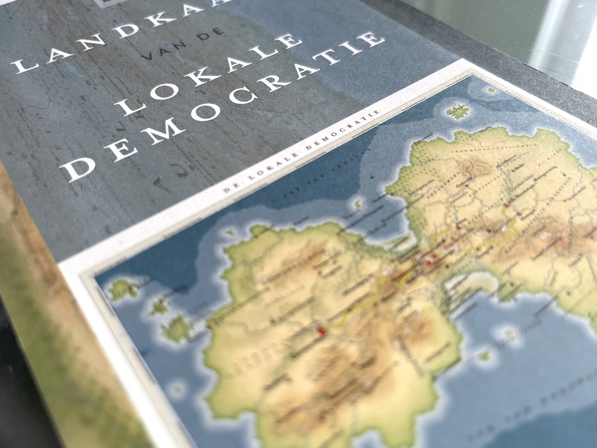
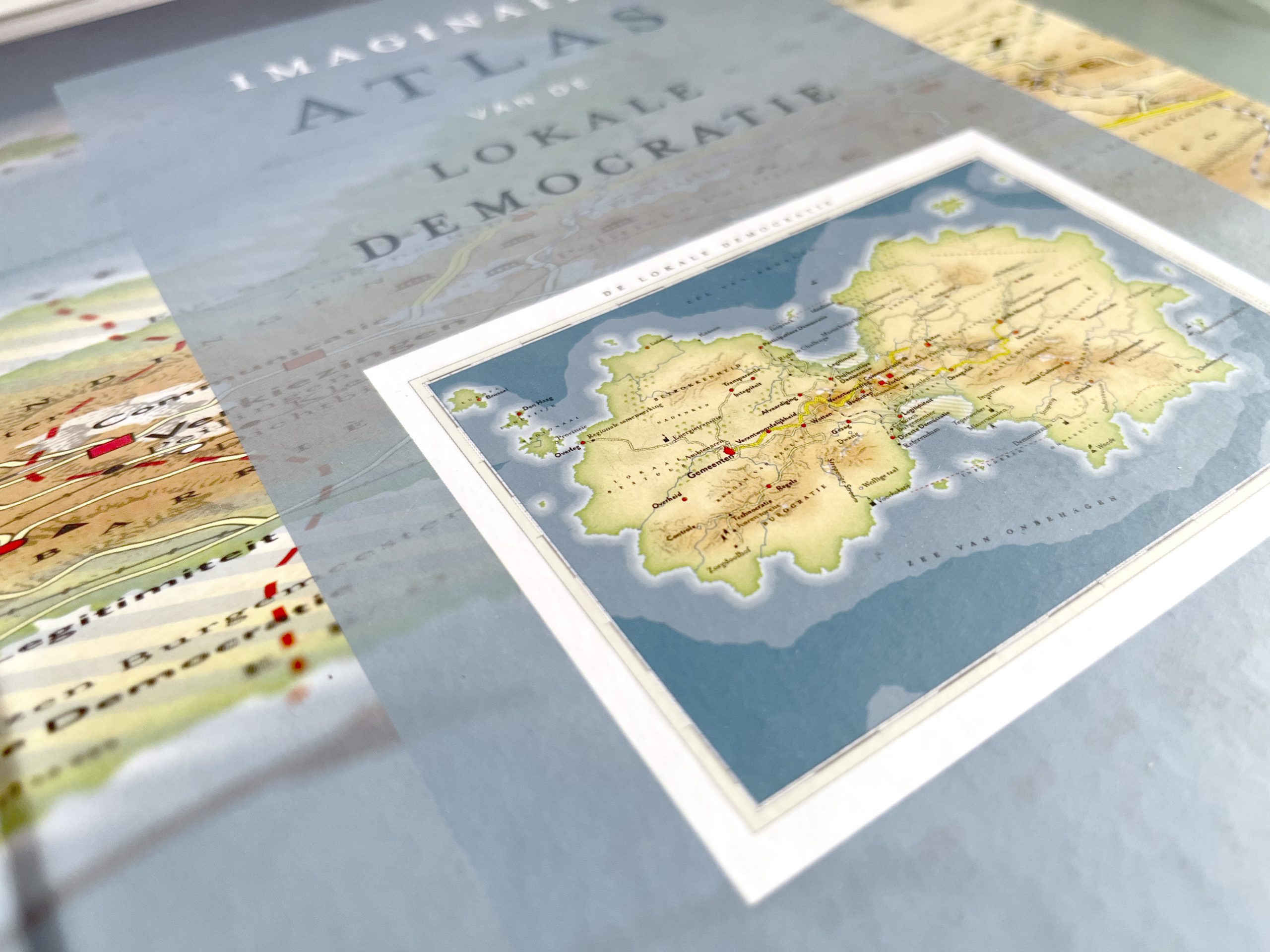
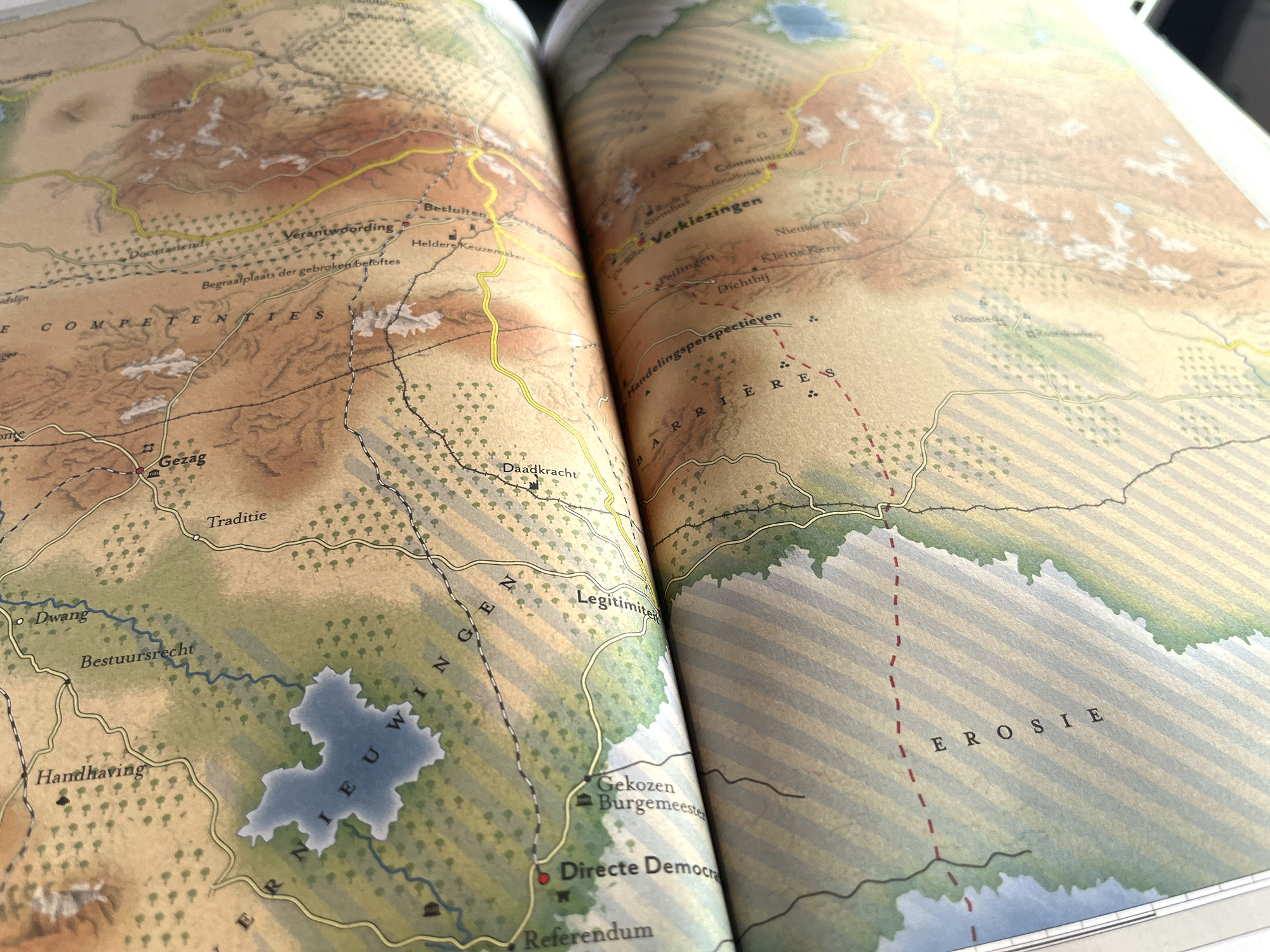
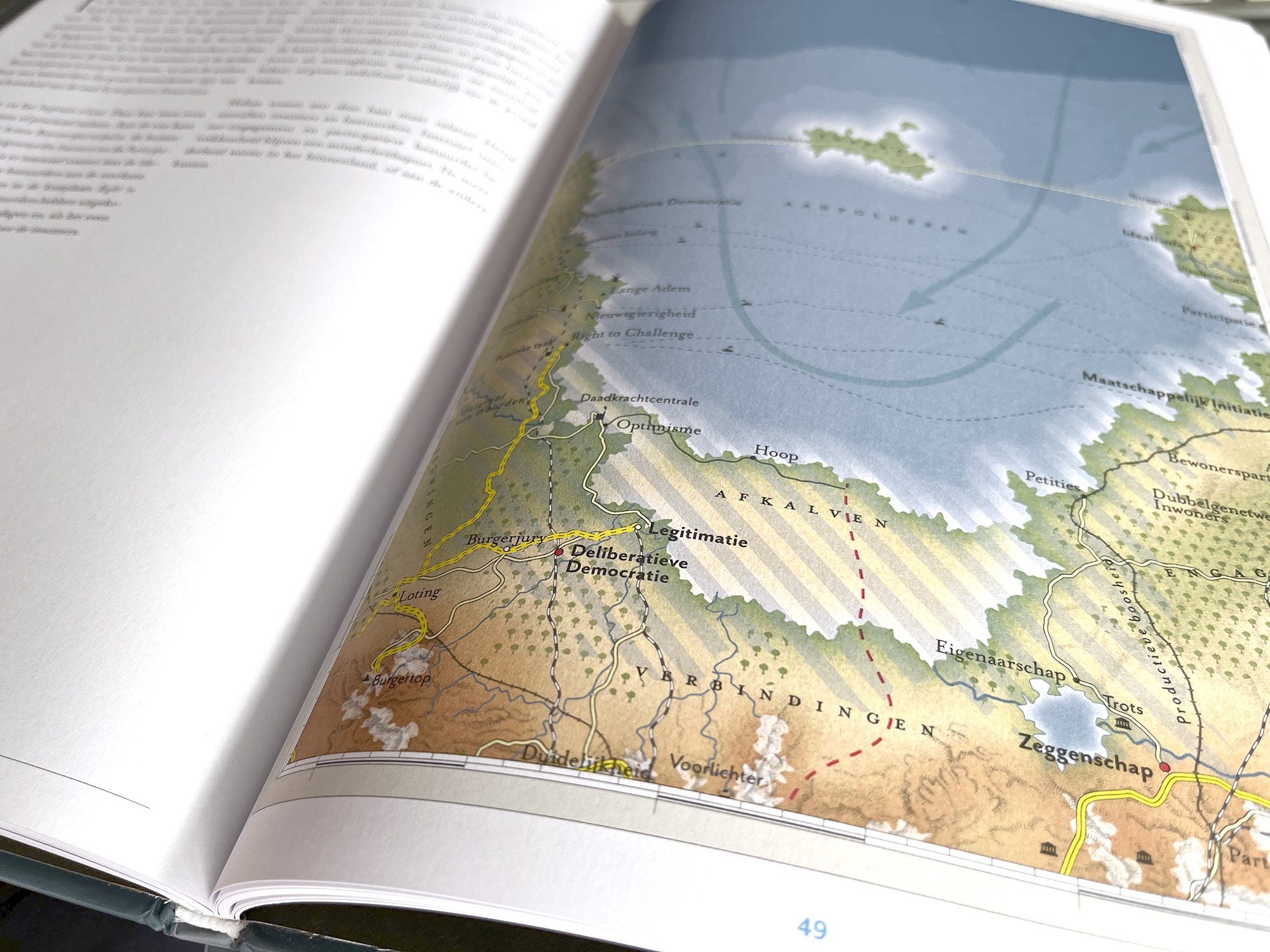
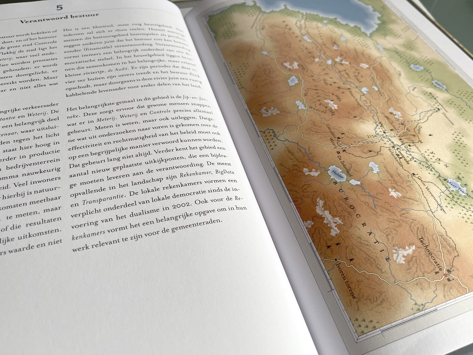
This is a cartographic representation of the continent of Local Democracy. The atlas sketches the inhabitants of local democracy: the administrators, the civil servants, the citizens and the relationships between them.
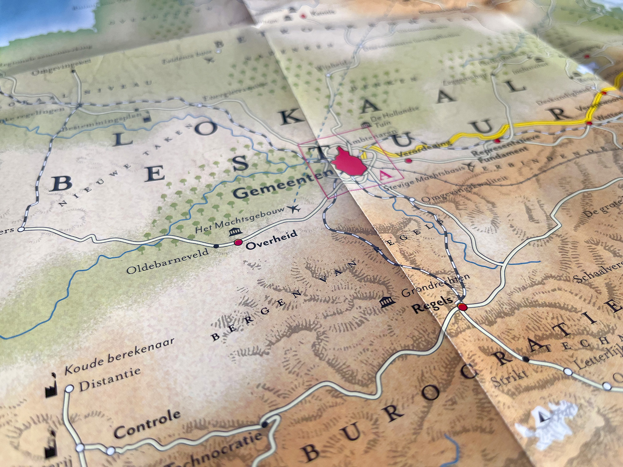
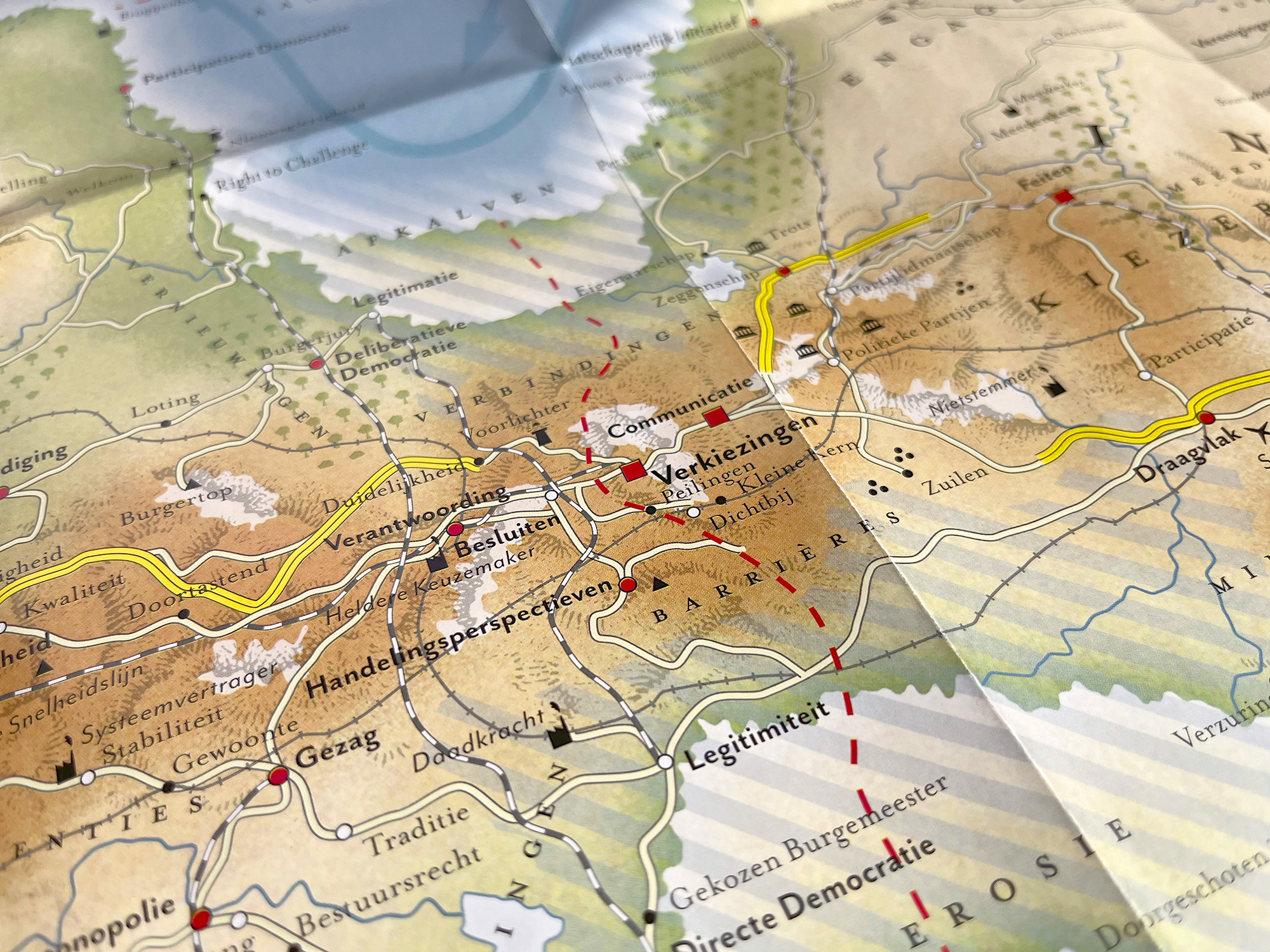
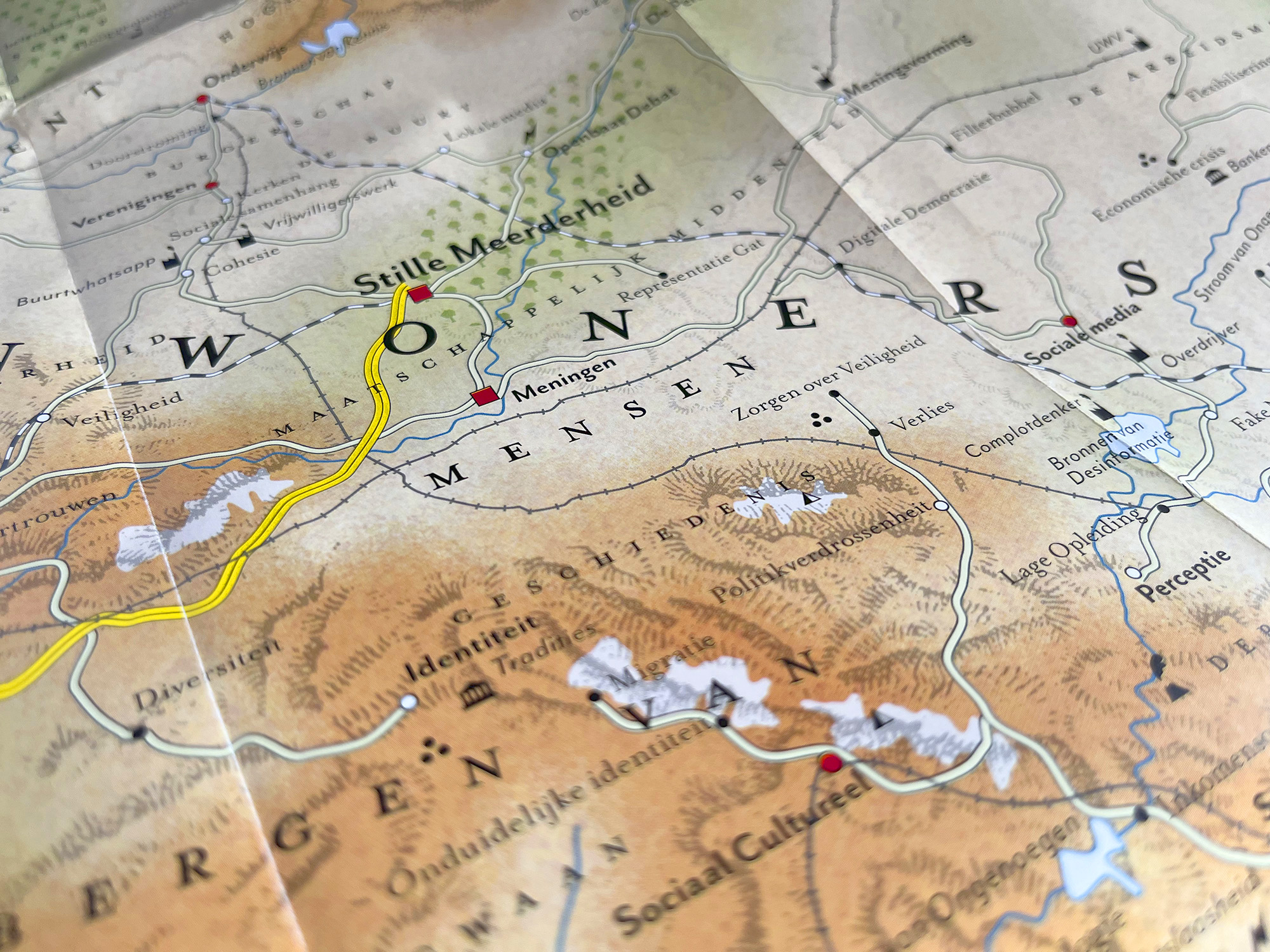
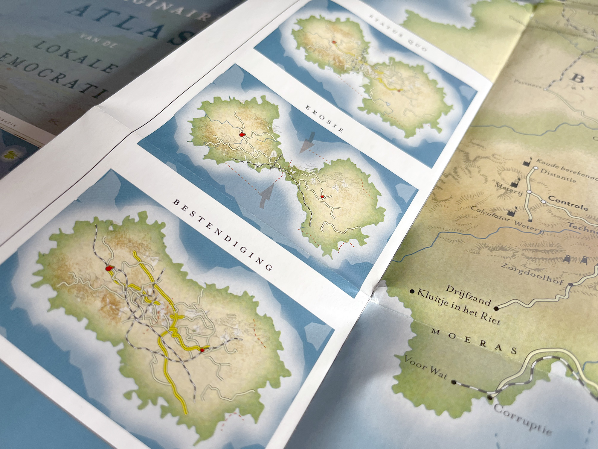
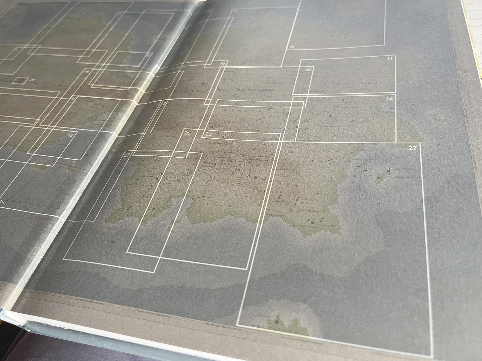
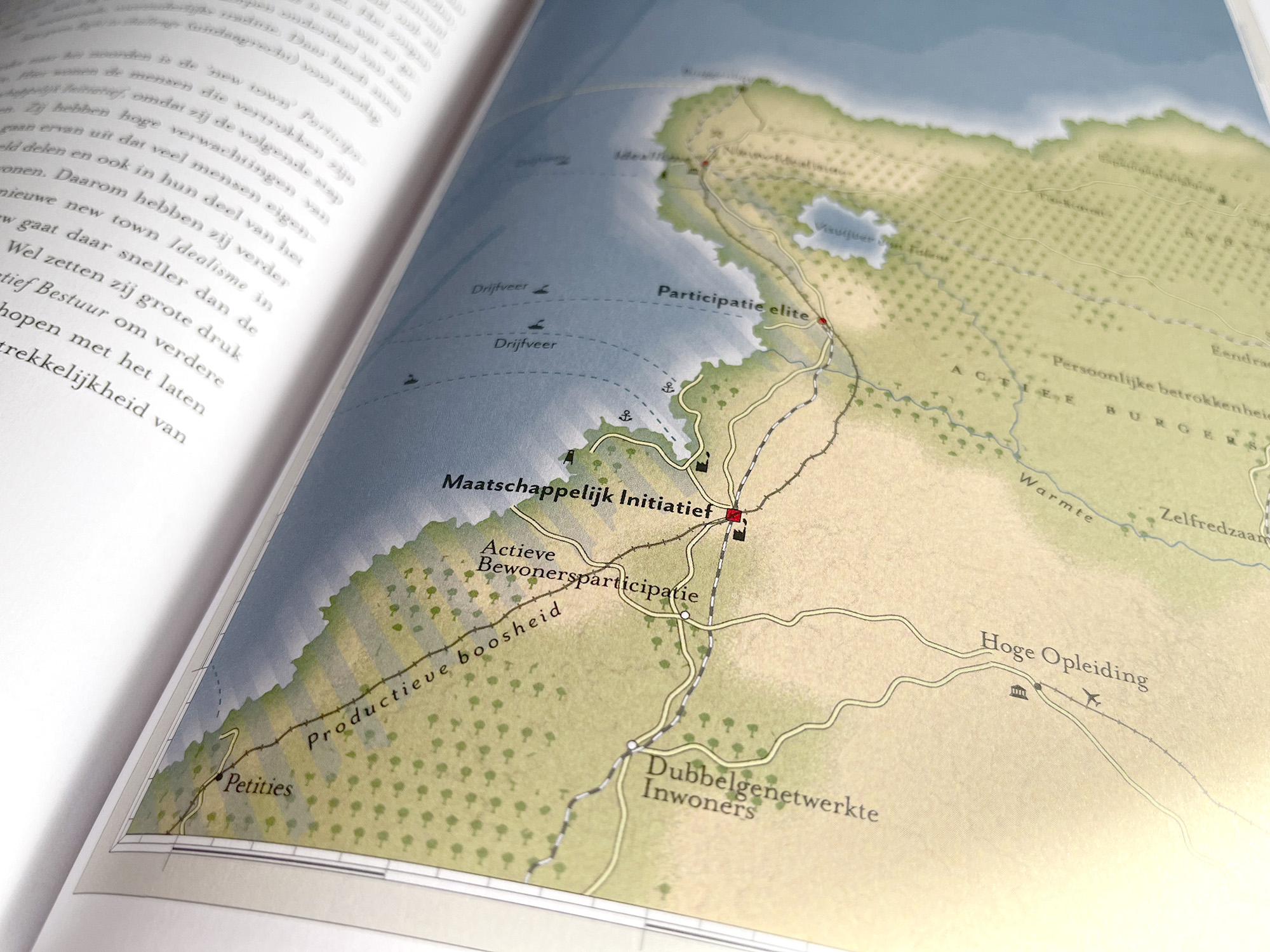
The continent consists of two parts, The Governance and The Society. Those parts are connected by a narrow headland. In the middle of that headland, it is crowded. There are numerous roads and tracks. That is also where the capital Elections is located. The map offers a bird's eye view of the whole subject: on the left, all aspects of governance, on the right, society. In the north positive phenomena, in the south the negative ones. Thus, the map provides an opportunity to name and explore all factors relevant to local democracy. In the atlas accompanying the map, 28 subtopics are further detailed.
The Atlas and the map help policymakers, politicians and officials see political-social issues and developments from a completely different angle. From below. From above. Or upside down.
The Imaginary Atlas of Local Democracy has turned out to be really awesome. But more importantly, it is also a really nice tool for thinking about local democracy and discussing it with each other.
Boudewijn Steur | Director of Knowledge, International, Europe and Macroeconomics at the Ministry of the Interior and Kingdom Relations